Geospatial and GIS Services
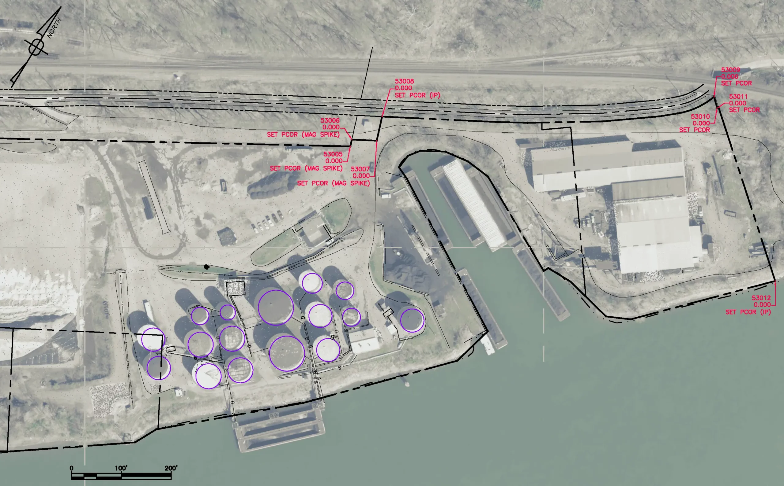
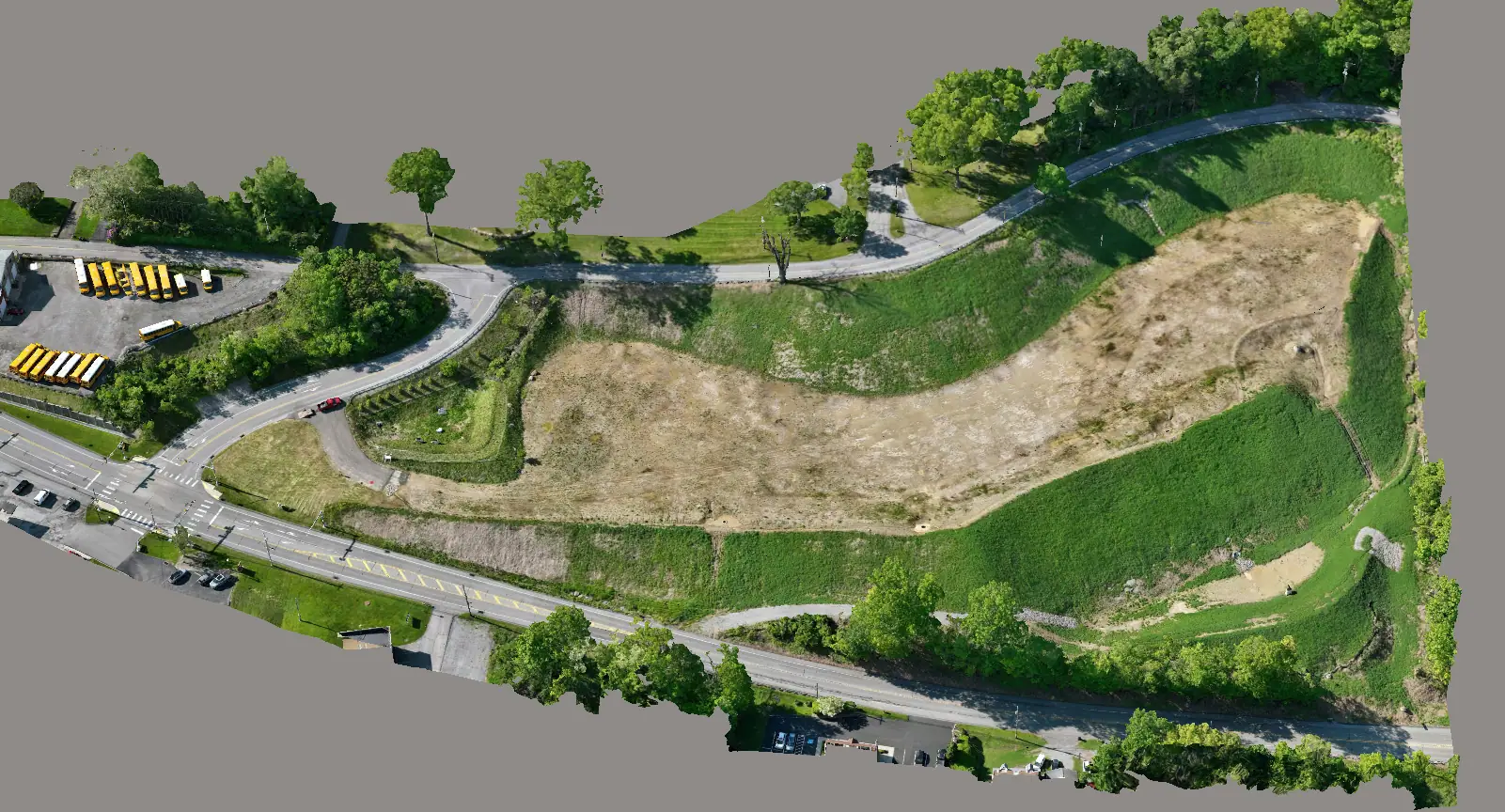
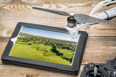
Our ability to measure geospatially from the air, using Unmanned Aerial Systems (UAS – commonly known as drones) to provide precision data interpretation enhances our company’s already proven engineering and surveying techniques. With the implementation of cutting-edge equipment and computer software, we can collect data faster, safer and more accurately using conventional techniques, geospatial scanning techniques or a combination of both. By seamlessly integrating aerial data capture into our robust toolkit, our professionals can offer our clients precise final deliverables giving them the confidence to make informed decisions.
Our Capabilities
- Site Inspections
- Progress Monitoring
- Boundary Surveys
- LiDAR Scanning and Imaging
- GPS/GIS and Topographic Mapping
- 3D Modeling
- Aerial Photo Control Surveys
- As-Built Surveys
- ALTA/NSPS Land Title Surveys
- Construction Stake-Outs
- Pipeline & Utility ROW Surveys
- Site Remediation Surveys
- Railroad & Tunnel Surveys
- Aerial Data Acquisition
- Drone Services


