Services
We offer a comprehensive range of civil engineering and surveying services designed to meet the unique needs of each project. Explore our services to see how we can help you achieve your goals with precision and expertise.
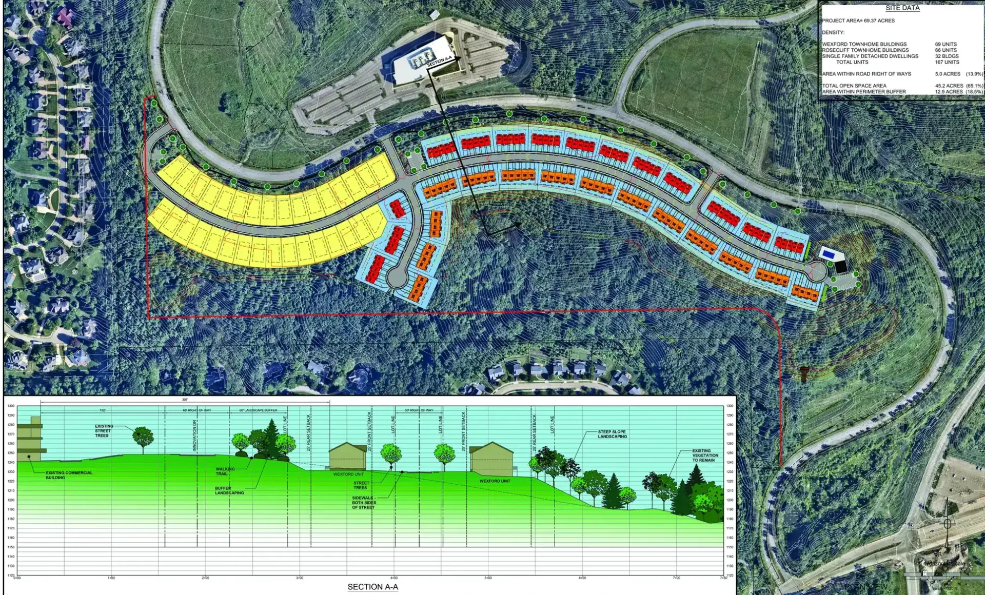
Land Planning and Site Development
Transform your vision into reality with our Land Planning and Site Development services. At Sheffler & Company, Inc, we guide you through every step of the process, from initial concept to final execution, ensuring your project is both innovative and sustainable. Trust our expertise to create functional, efficient, and aesthetically pleasing developments.
Learn More
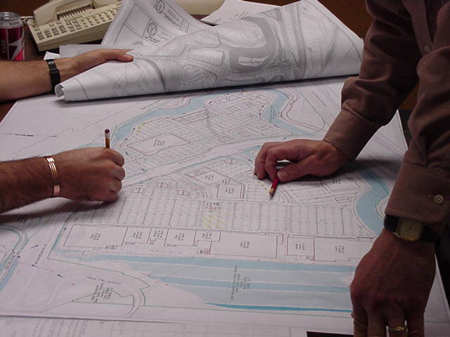
Civil Engineering and Permitting
Navigate the complexities of civil engineering and permitting with Sheffler & Company, Inc. Our experienced team provides comprehensive solutions to meet all regulatory requirements while maintaining project integrity and efficiency. Let us handle the details so you can focus on the bigger picture.
Learn More
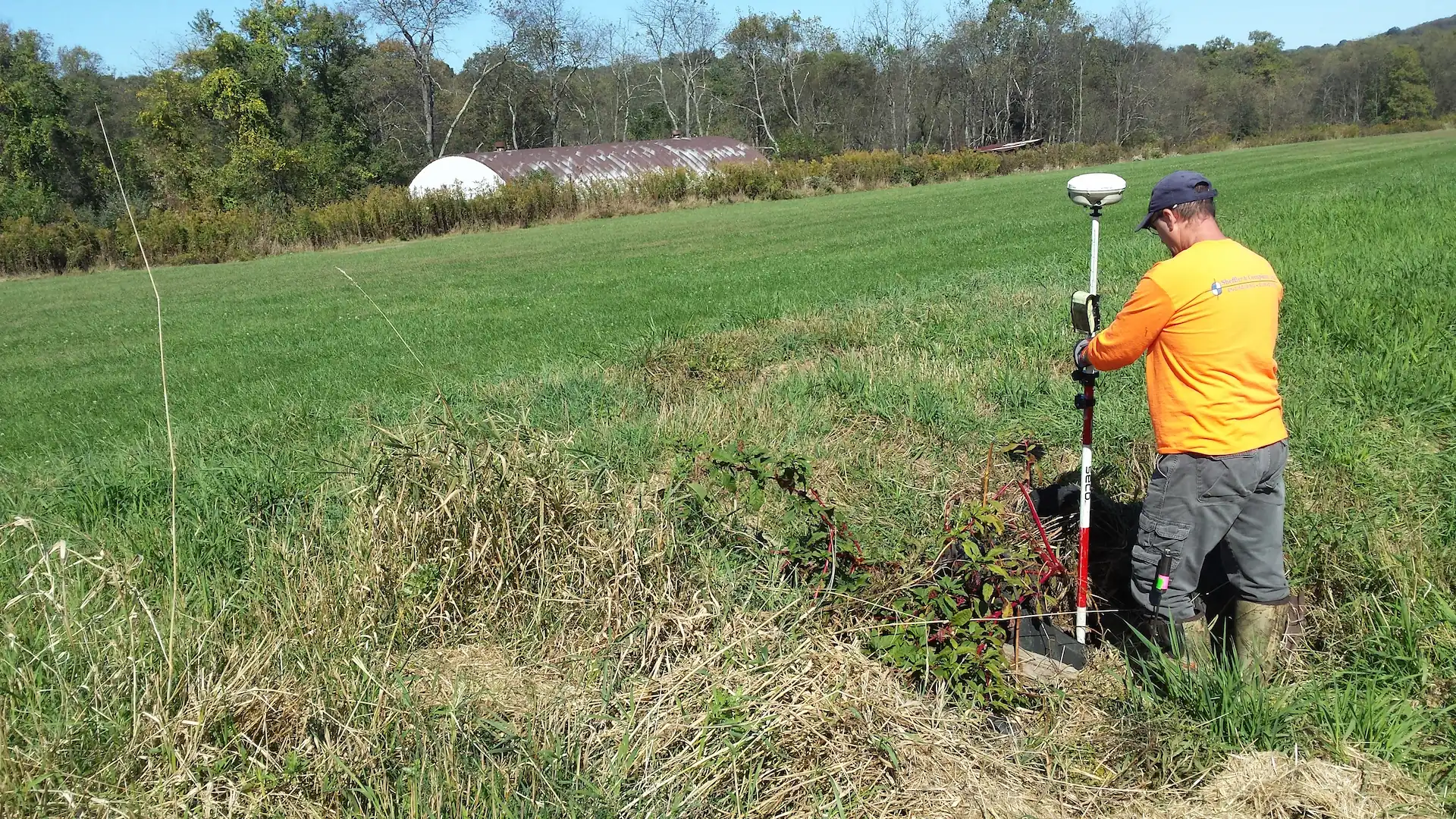
Surveying Services
Accurate and reliable surveying is the foundation of any successful project. Sheffler & Company, Inc offers state-of-the-art surveying services to provide precise measurements and detailed data, ensuring your project starts on solid ground. Rely on our expertise for all your surveying needs.
Learn More
Builder Services
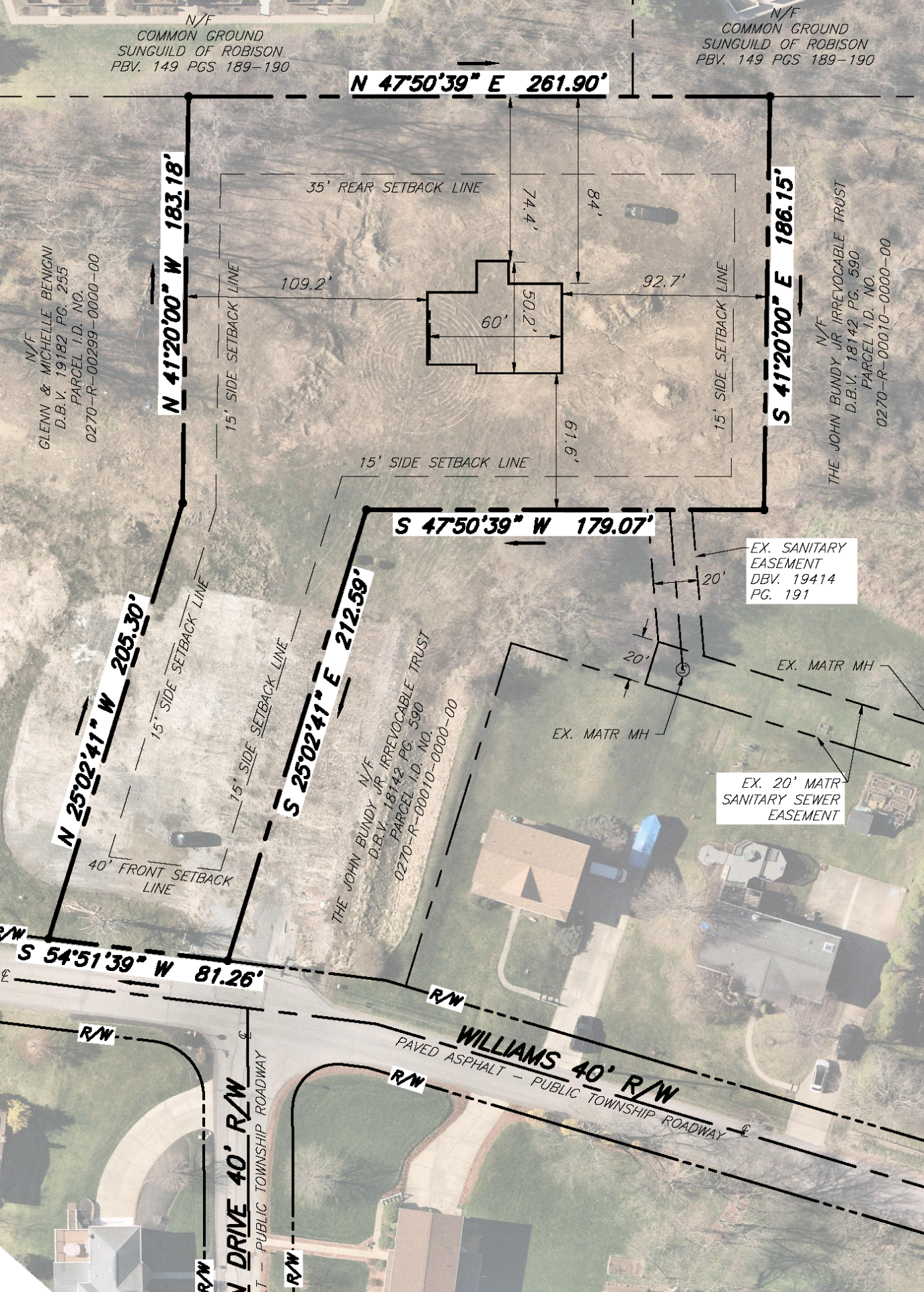
In 2020, Sheffler & Company, Inc. acquired Sperdute Surveying, now operating as Sperdute Land Surveying, a Division of Sheffler & Company, Inc. This division of our company performs the majority of our Builder Services, a specialized division within our Surveying Services Group. It primarily provides builders with high-quality surveying solutions that streamlines the construction process by providing dimensional control for all stages of building. Our Builder Services include everything from initial plot plans to final construction surveys and as-builts for the builder to permanent pin installation for the homeowner.
Learn More
Oil and Gas
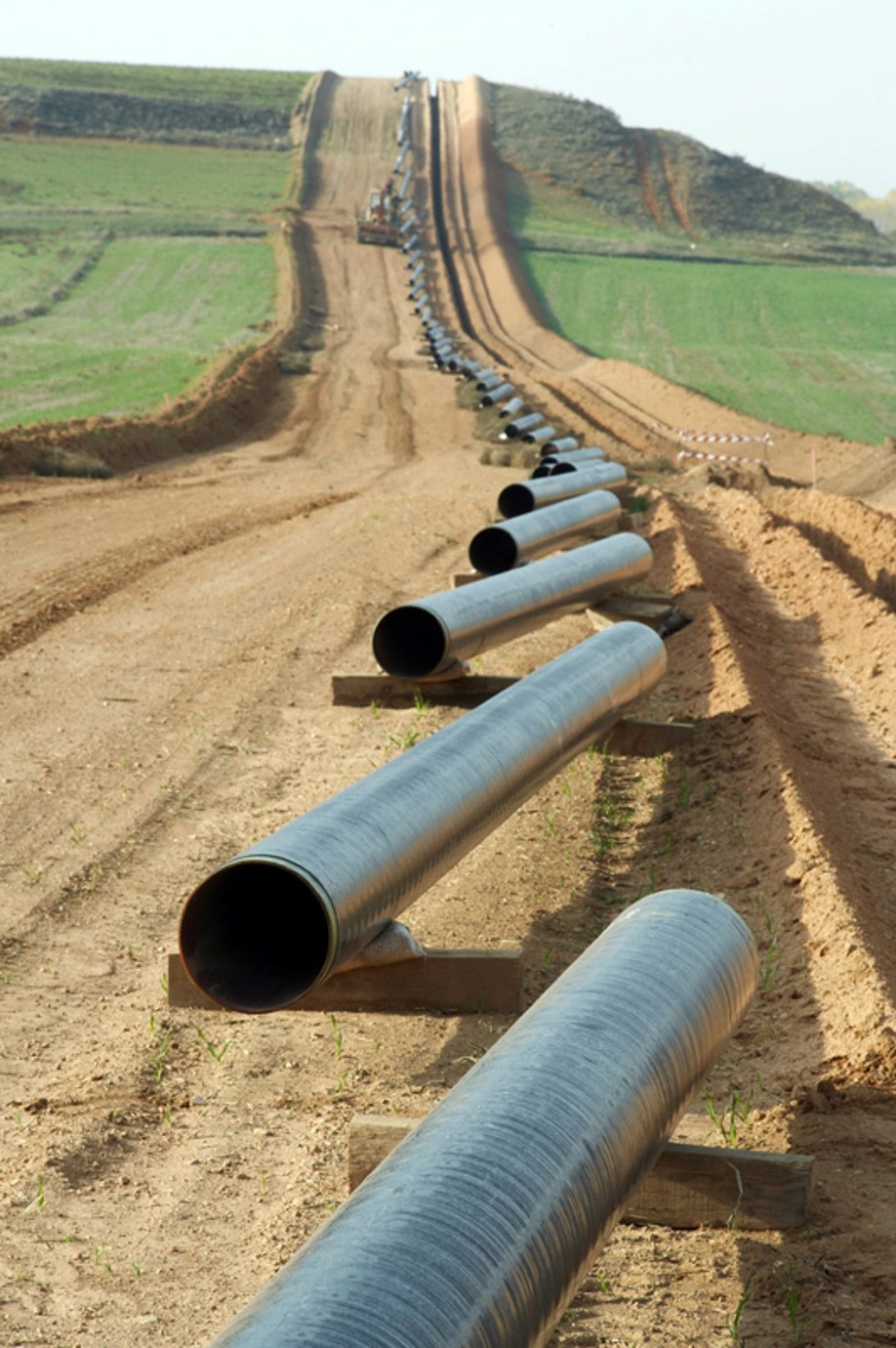
In the dynamic world of oil and gas, Sheffler & Company, Inc provides specialized engineering services to support exploration, production, and infrastructure projects. Our team combines industry knowledge with innovative techniques to deliver safe, efficient, and compliant solutions.
Learn More
Geospatial and GIS Services
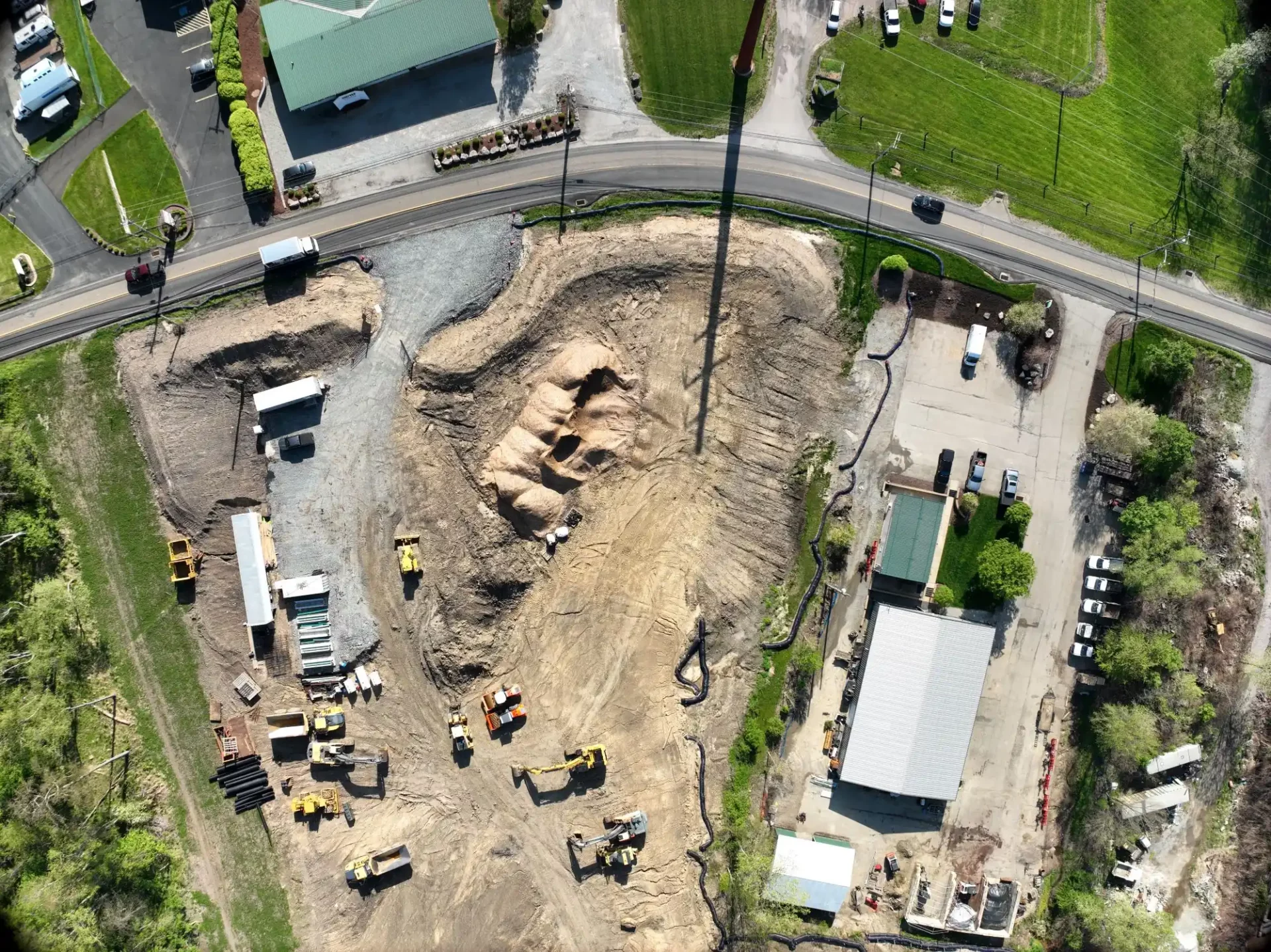
Our ability to measure geospatially from the air, using Unmanned Aerial Systems (UAS – commonly known as drones) to provide precision data interpretation enhances our company’s already proven engineering and surveying techniques. With the implementation of cutting-edge equipment and computer software, we can collect data faster, safer and more accurately using conventional techniques, geospatial scanning techniques or a combination of both. By seamlessly integrating aerial data capture into our robust toolkit, our professionals can offer our clients precise final deliverables giving them the confidence to make informed decisions.
Learn More

